
Flooding

Heavy rainfall and extreme weather are bringing more water than the land can handle or our drainage systems can cope with, making flooding more likely in Pōneke | Wellington.
As the city has grown, natural waterways have been covered, drained, or built over, disconnecting us from nature. Combined with climate change, this makes it harder for the land to absorb or drain water properly. Flooding is becoming an increasing risk, especially in areas where bodies of water have been drained or filled to create new land. Changes to the natural waterways have made it more difficult for the land to handle heavy rainfall.
More flooding is predicted for Pōneke
Increased flooding from climate change will affect our daily lives in Te Whanaganui-a-Tara as severe weather events become more frequent and sea levels rise. By 2090, the warmer atmosphere is likely to increase the intensity of rainfall by around 25%. Rainfall events will be short but very heavy. When drains and pipes get overwhelmed, water with nowhere to go can pool or flow in places we live, work, and play. Our homes and roads could face damage.
Adaptation and planning will help us prepare for the impacts of climate change that can’t be avoided.
The science
For every degree celsius the Earth’s atmospheric temperature rises, the amount of water vapour in the atmosphere can increase by about 7% (NASA).
There has been a relative sea level rise of around 25cm since the early 1900s (Stats NZ). Explore the case studies below to see how the land and sea are constantly changing—and why planning for the future is essential as these risks increase.
Annual mean coastal sea-level rise (cm) relative to the 1995-2014 period, 1901-2020

Stats NZ using data from NIWA
Case study
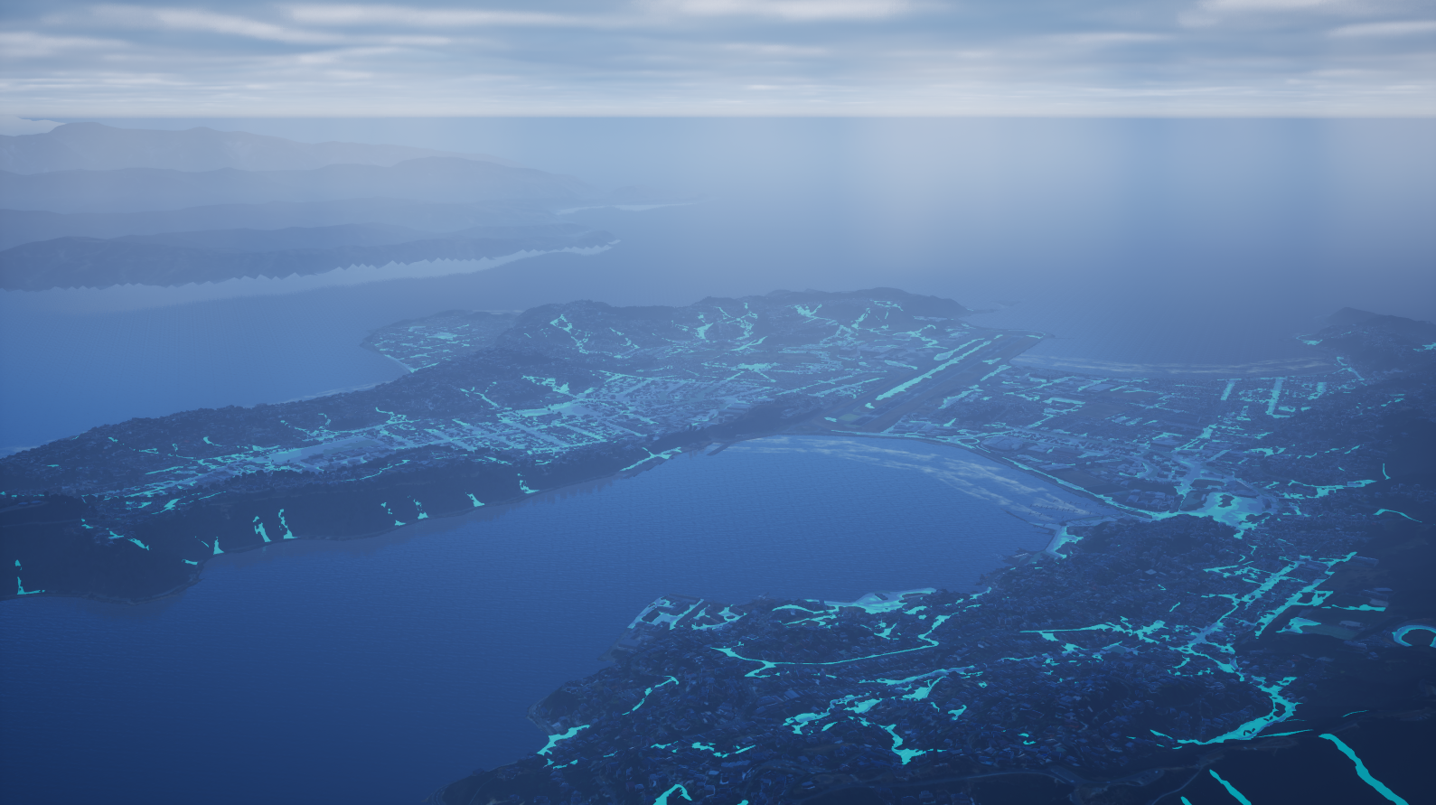
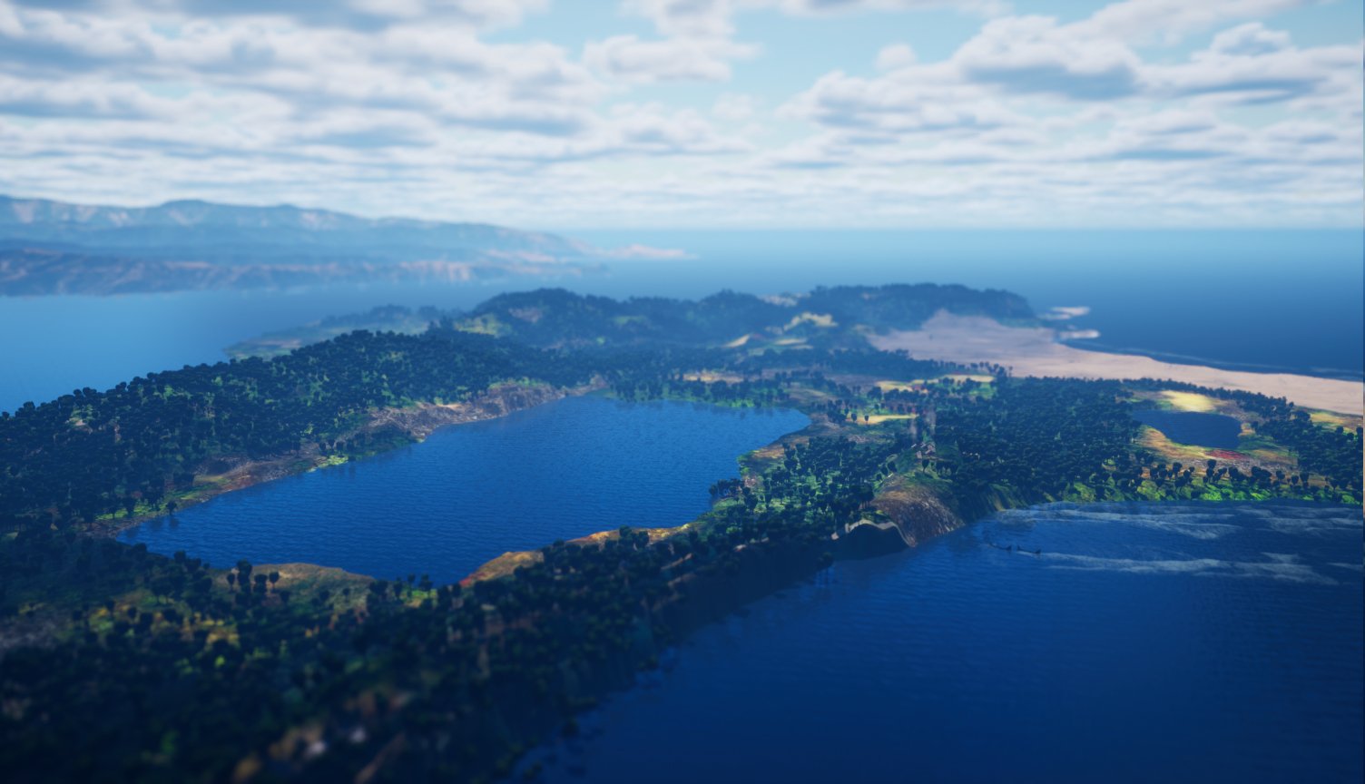
Lake Pāra
The lake was first known as Rotokura, and was named Parā by mana whenua Taranaki Whānui. It was later called Burnham Water by European settlers. The centuries-old lake and surrounding ecosystem provided kai and sustenance for iwi living there. Parā was a rich source of tuna (eels). The wetlands were a gathering site for plants like raupō — used for weaving and to create materials for building whare.
Earthquake creates a lake
The Haowhenua earthquake in 1460 raised land up from the sea, creating the place where Lyall Bay and Kilbirnie are located. The earthquake also made Parā Lake and surrounding wetlands, and these covered most of what is now Miramar. The lake covered an area of around 3km by 1.5km. The first name given to the place we see here is Te Motu Kairangi – the sky-gazing island, or an island held in the highest esteem.
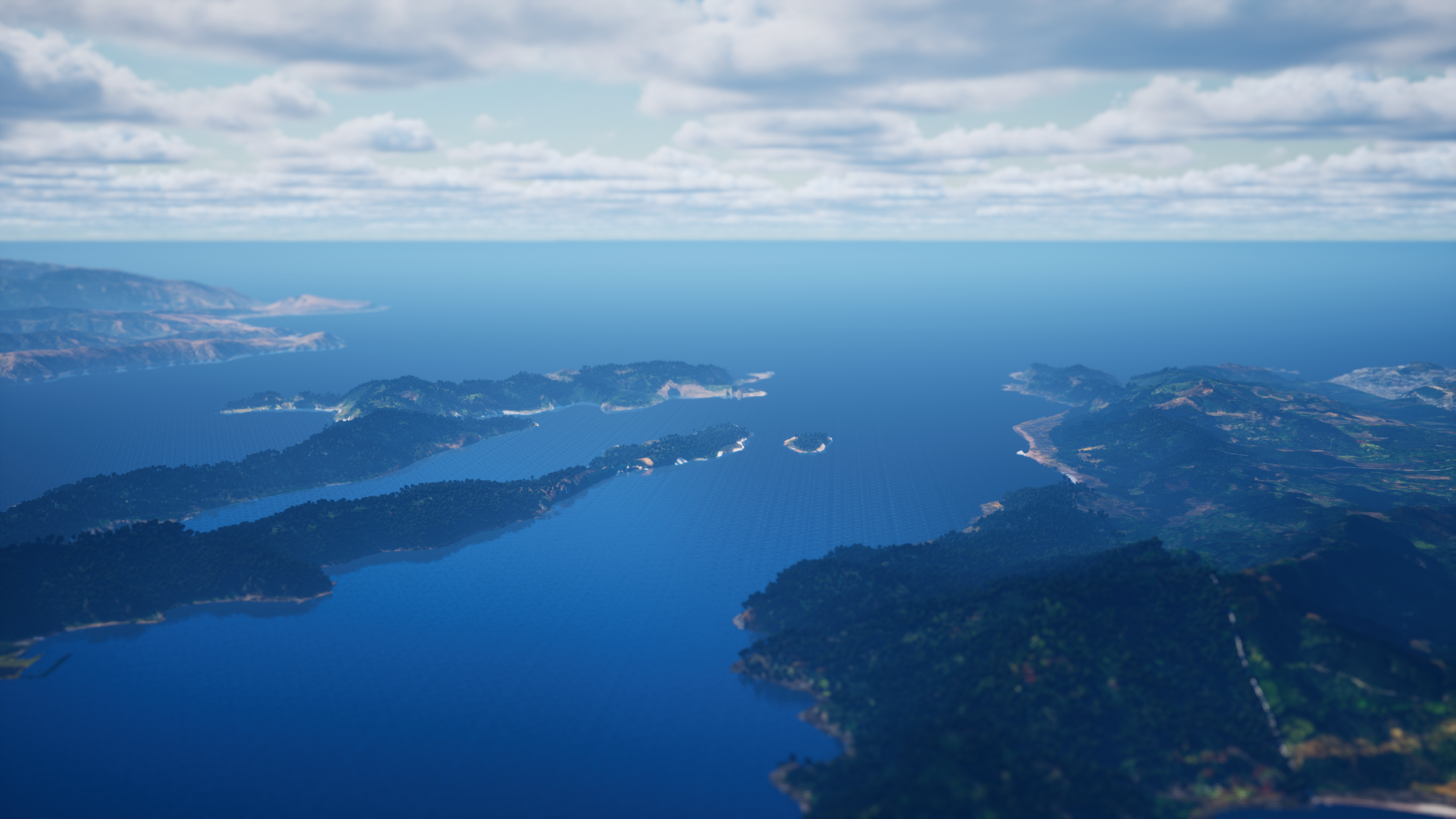
Drag the slider left and right to reveal before and after visualisations of these changes, showing how the landscape was transformed .
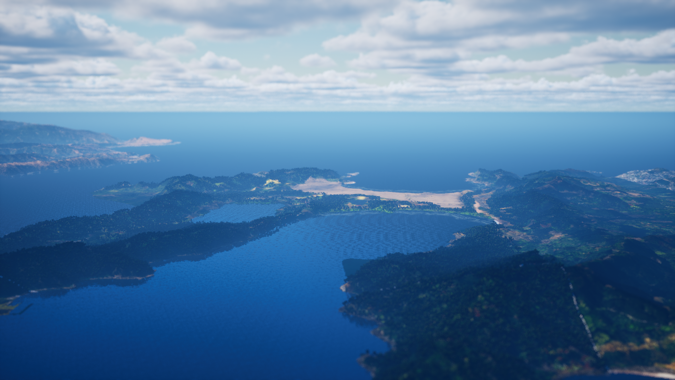
Before
After
Map from 1907 showing the pā and kāinga of Te Motu Kairangi, and Miramar’s original name of Whātaitai – after the treasured tupua who helped shape this whenua.
Alexander Turnbull Library, Wellington, New Zealand.
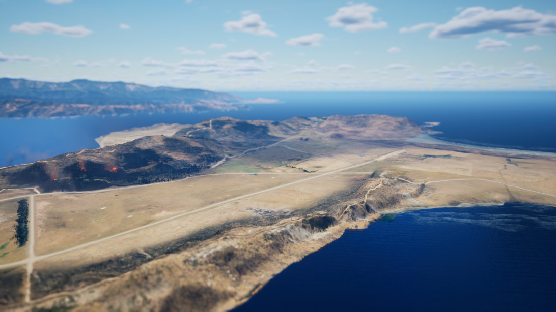
Forests destroyed to create farms
Land developer James Coutts Crawford commissioned a tunnel to drain the lake, which is covered now but still visible on the way to Marukaikuru | Shelly Bay. The lake’s water was drained into Ākau Tangi | Evans Bay.
Native trees were felled or burned to clear land for farming. Native flax and fern were replaced by pasture.
Miramar farmland around the 1890s, looking across from what is now Seatoun Heights and showing Miramar Avenue and Miramar Cutting in the distance.
Alexander Turnbull Library, Wellington, New Zealand.
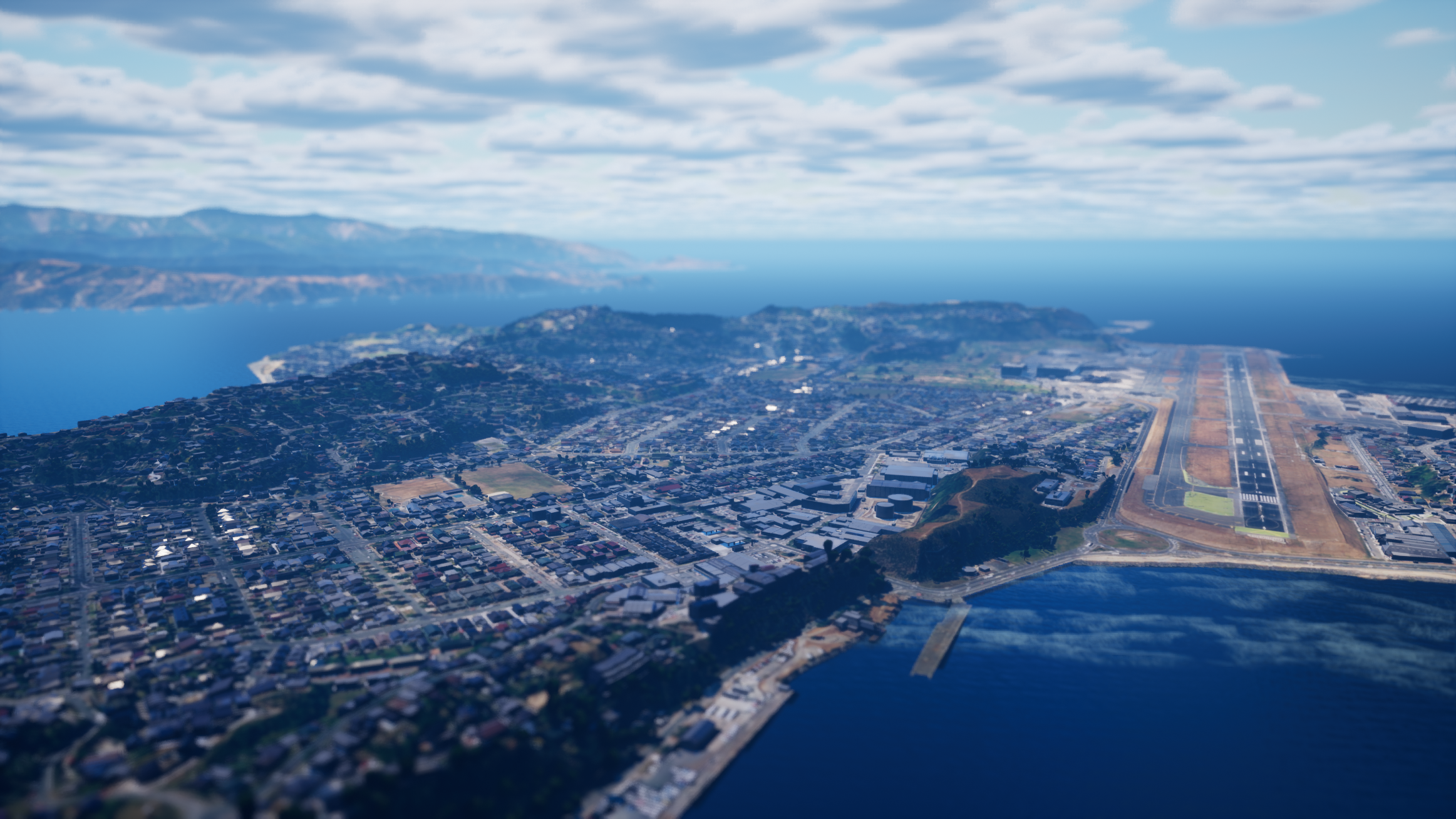
The draining of Parā Lake
Many people in Miramar live on land that was once the bottom of lake Parā.
Before
After
Homes built on the lake bed
In 1902, farmland was converted to make way for housing. As neighbourhoods expanded, natural streams were covered up, stormwater drainage was developed, and by 1906 a tram connected Motukairangi with Wellington city.
A large cutting made through the hillside cleared the way for more urban development.
Before
After
This photo from 1907 was part of promotional material to attract settlers to Miramar
Alexander Turnbull Library, Wellington, New Zealand.
Past decisions affect our present and future
Weakening connection with the environment ripples through time. As the landscape is altered, the way water moves and drains is significantly affected, leading to increased flood risks and ecosystem changes.
Building on low-lying areas can cause water to pool rather than drain away.
Structures like houses, fences and paths increase the amount of rain running off surfaces, and make it hard for flood water to flow over land or soak away.
Disrupting ecosystems causes a decline of native species that support natural drainage, making it harder for water to soak or drain away when it rains.
Much of Wellington’s stormwater infrastructure was built in the early 1900s, before the impacts of climate change and sea level rise were understood. Since then, relative sea levels in Wellington have risen by around 25 cm.
The scene
Use the interactive map to explore areas at risk of flooding in a 1-in-100-year event. Adjust the points on the scale to see how different water depths could impact the landscape.
Learn more about climate disruption in Pōneke | Wellington

Rising sea levels and extreme weather and how land is used in coastal areas means the impacts of climate change are felt strongly around our coast.
Coastal inundation


The hills and cliffs of Pōneke | Wellington create an interesting, beautiful landscape. But living above and below steep slopes can come with risks too.
Landslides

Learn more about planning for and preventing climate disruption

Adaptation options
Planning for climate disruption starts with understanding what our options are to increase the city’s resilience.

Take action
Working together, we can protect the people and places we love in in Pōneke | Wellington, now and into the future.