
Adaptation options
Planning for climate disruption starts with understanding what our options are to increase the city’s resilience
So what can we do?
This whenua – Te Upoko o te Ika a Māui – has changed over time through natural events and human actions.
There are solutions in nature, in engaging with Māori perspectives and knowledge; and in science, architecture, and engineering.
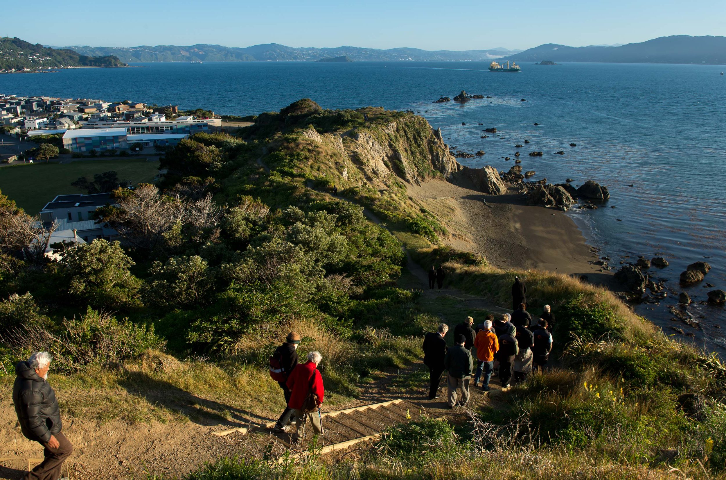
A thriving Pōneke | Wellington where families and communities are prepared for climate change calls on all of us to act together.
In coming years, we will need to make some important choices about how to deal with climate disruption so that our city stays a great place for people and nature in Pōneke | Wellington.

Preparing together
Adapting to climate impacts will need a coordinated effort across the city - we will all need to prepare and act as a community together.
There are many ways we can prepare and adapt to the local impacts. Preparing for climate change might involve strengthening natural systems like dunes, wetlands, streams, and native plants. We can also explore engineered solutions, such as retaining walls, pumping stations, as well as relocating some infrastructure away from harm. Explore the catalogue below to learn about just a few of the adaptation options we could explore in our effort to prepare.

Living roofs and walls
Plants or garden beds installed on the roofs or walls of buildings. Living roofs and walls store and slow down water flows, and reduce the amount of rain that runs onto water-resistant surfaces. They are often connected to the stormwater system, which means release of water into the system can be controlled.
-
Opportunity for cultivation of māra kai, and use of mātauranga Māori in design and plant selection.
Creates habitat for plants and creatures including taonga species in urban spaces.
Benefits for wider ecosystem including water filtration and air quality.
-
Costs more than a normal roof, and paid for by owner which could increase inequities.
Care and waterproofing is needed to avoid leakage into building.

Overland flow path management
Finding and clearing the paths flood waters take across land to reach a drain, river or the sea. Flow paths need to be kept clear to work well, and some are combined with planting programmes in surrounding areas.
-
Can reduce risk of erosion and landslide through slowing the speed of stormwater flow.
If planted, can create habitat for creatures including taonga species, and can act as a carbon sink.
Can create recreational opportunities and improve desirability through increased green spaces.
-
Might require access to and use of private and public properties, with coordination of many stakeholders, eg councils, NZTA, hapū/iwi, residents, community groups.
Possible health hazard if stormwater quality is poor.
Requires monitoring and maintenance.

Raised ground levels
Land is raised to be above future expected flood levels and/or areas where landslide debris might flow. Uses materials like rock, soil or concrete. Ground levels can be raised for buildings or infrastructure like roads when newly built or upgraded, or for whole subdivisions.
-
Can increase the value and durability of a building, and make it easier to insure or sell.
Needs no extra land.
-
Risk of erosion, and potential to increase flood risk for neighbouring properties if flood water diverts onto their land.
Paid for by owner, which might increase inequities.
Potentially reduced access to building during flood.
Can affect daily life through things like shading of daylight.
Can encourage further development in exposed areas which could increase future risk and reduce ability to adapt to future changes.

Stormwater system upgrades
Upgrades and maintenance of existing infrastructure to accommodate future water levels. This could include things like changing design standards to require larger pipes or wider streams, and using nature-based stormwater management like strips of vegetation or gravel trenches near roads.
-
Can attract investment and economic growth in the surrounding area.
Might improve an area’s desirability and recreational opportunities if paired with planting.
-
May lead to an increase in rates.
Might need additional land and/or a change in land use, affecting current land uses and ecosystems including those of taonga species.
Can encourage further development in exposed areas, which might increase future risk.

Rainwater tanks
A sealed tank for an individual property to collect rainwater from roofs or carparks through gutters and pipes. Tank can be above or below ground. Helps control release of water into the stormwater system, reducing flooding.
-
Stored greywater can be used for gardens and laundry, conserving water and reducing costs for water bills.
Improved emergency preparedness through alternative water supply.
-
Needs land space.
Requires maintenance.

Porous surfaces
Ground surfaces that let water pass through to soil layers underneath, helping reduce the amount of water flowing over and pooling on top of roads and pavement. These permeable surfaces include porous concrete or asphalt that stormwater can pass through, and paving that lets stormwater travel through gaps between blocks. Mainly used for transport infrastructure with low impact like driveways, parking lots and footpaths.
-
Can improve water quality by filtering stormwater.
Low maintenance.
Potentially low emissions if appropriate materials are reused, like recycled tyres to make paving.
-
Not good at withstanding heavy traffic.
Might not last as long as nonpermeable paving.
Potentially high emissions through use of concrete, plastic or steel.

Pump stations
Permanently installed pumps to remove waters from flooded areas and move it to tanks, drainage areas or bodies of water like streams, rivers or the sea.
-
Can increase value and ability to sell and insure neighbouring properties.
Easy operation through automatic systems.
-
Potential to increase emissions through use of concrete and non-renewable energy.
Needs ongoing maintenance.
Needs to be built resiliently to be reliable, eg above flood levels and with a power source that is reliable during flooding.
Noise during operation might be bothersome.
Can encourage further development in exposed areas which might increase future risk.

Beach nourishment
Bringing sand from elsewhere onto a beach to create a buffer between the sea and coastal land. Sand used can be dug out from excess that builds up in other areas, gathered through offshore dredging, or from other suitable sources. Can reduce coastal erosion and the potential for waves to flood nearby land.
-
Can maintain natural habitats for plants and creatures.
Can improve connection and access to natural environment including mahinga kai food gathering sites.
Can increase recreational opportunities through a wider beach, which can increase value and saleability of nearby properties.
-
Needs ongoing monitoring, additional nourishments, and a reliable source of sand.
Costs can be significant if imported material is used.
Potential loss of habitats and species at the source of sand and where it is deposited.
Operational emissions and nuisance from noise through use of heavy machinery and transport of materials.

Beach grading
Redistributing and regrading sand/material on the beach to provide protection. Mainly addresses coastal erosion but can also protect from wave ‘overtopping’.
-
Can maintain natural habitats for plants and creatures, like those on dunes – both on the beach and in nearby coastal environments.
Can improve connection and access to natural environment including mahinga kai food gathering sites.
Can increase recreational opportunities through a wider beach, which can increase value and saleability of nearby properties.
-
Relies on availability of onsite materials.
Needs ongoing beach maintenance, regularly after storm events.
Can damage natural habitats for plants and creatures, especially those that live in the sand.
Operational emissions and nuisance from noise through use of heavy machinery during grading works.
Explore the full catalogue
This report on adaptation options addresses key natural hazards in Wellington that are worsened by climate change. Based on the best available data, it focuses on three main climate-related hazards—flooding, coastal inundation, and landslides—offering a comprehensive approach to planning. Below, you’ll find a link to download the full catalogue of adaptation options for these hazards in Wellington.


Take action
Working together, we can protect the people and places we love in in Pōneke | Wellington, now and into the future.
Learn more about climate disruption in Pōneke | Wellington

Rising sea levels and extreme weather and how land is used in coastal areas means the impacts of climate change are felt strongly around our coast.
Coastal inundation


Over time, natural waterways have been drained, piped, and covered as people built businesses, roads and homes around Pōneke | Wellington.
Flooding


The hills and cliffs of Pōneke | Wellington create an interesting, beautiful landscape. But living above and below steep slopes can come with risks too.
